
Specializing in Drone Services and Aerial Photography
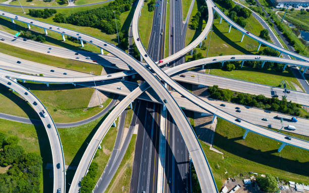
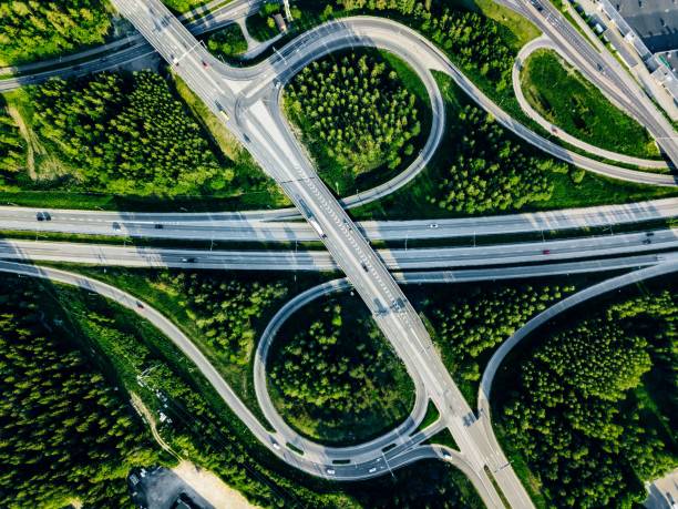
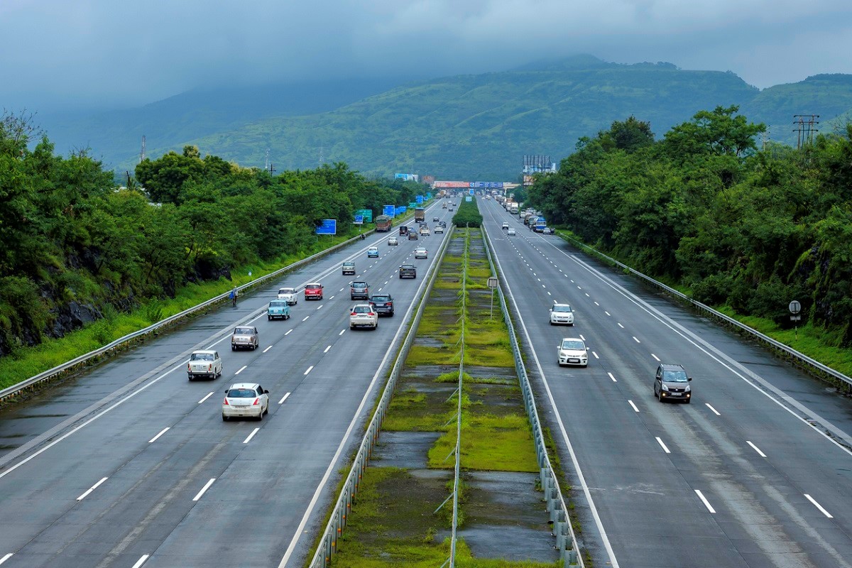
We deliver cutting-edge drone solutions designed to meet the evolving demands of infrastructure, inspection, and documentation. With a specialization in aerial photography, videography, and technical drone surveys, we serve a diverse range of sectors, including road and railway construction, urban planning, and event coverage.
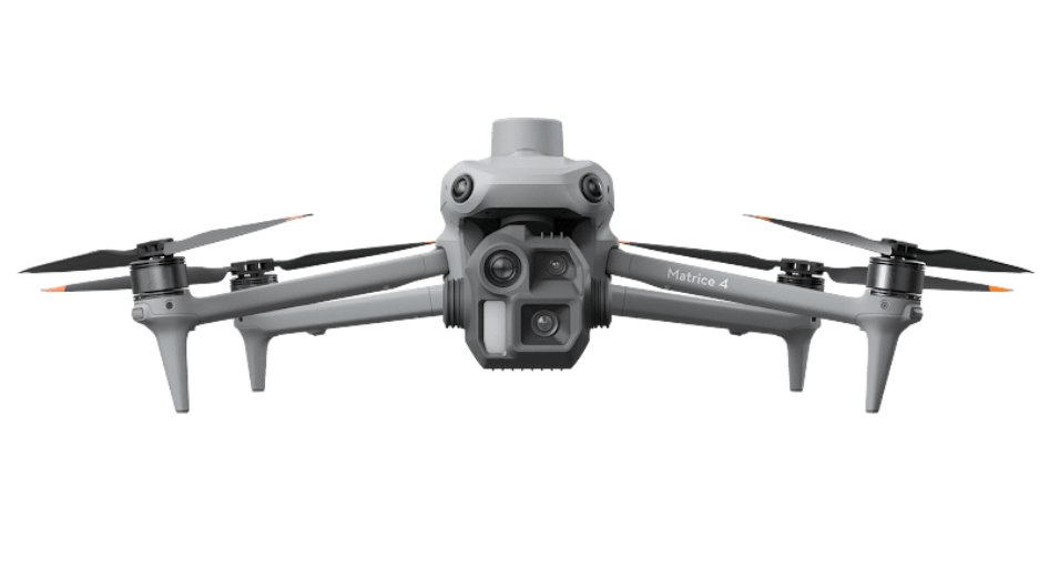
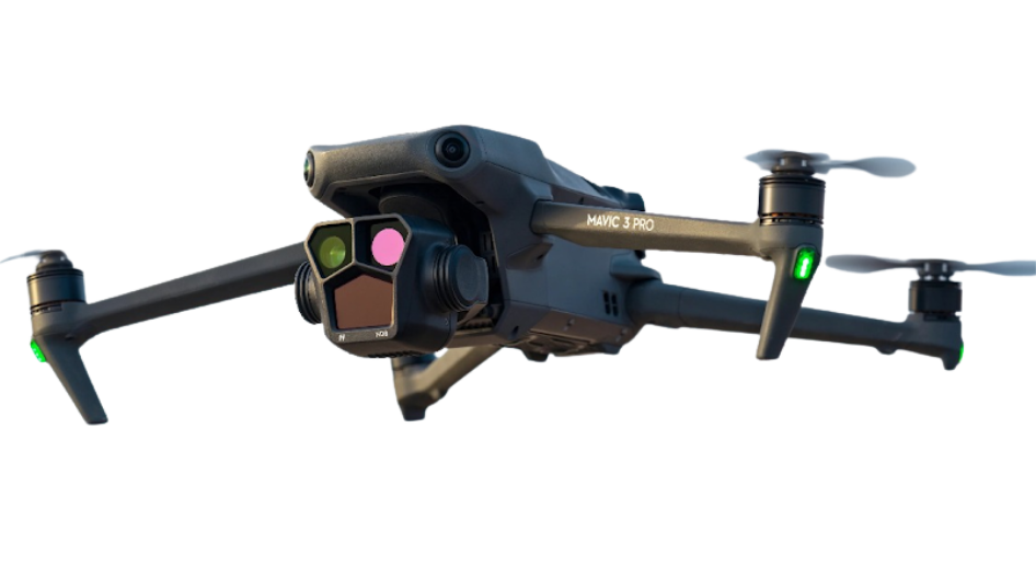
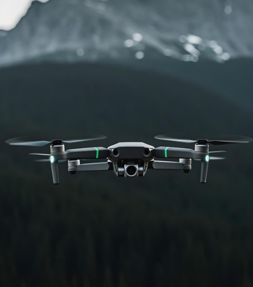
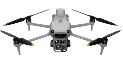
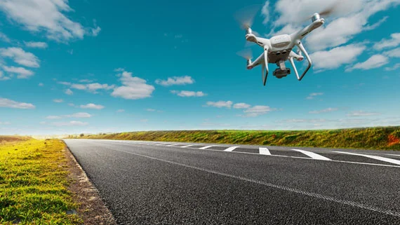
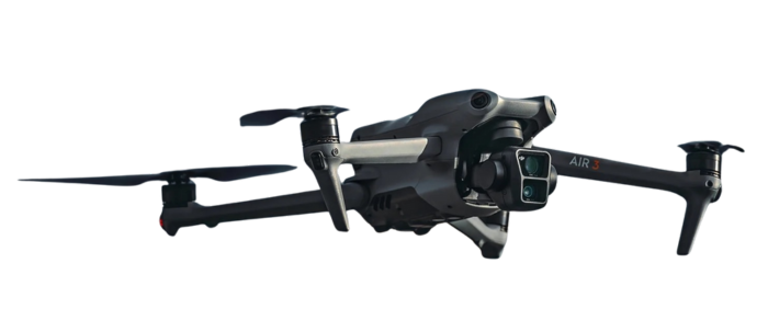
Our operations are powered by DGCA-certified pilots and industry-grade UAV technology, ensuring safe, compliant, and high-precision aerial missions. Every flight we undertake is focused not just on capturing visuals but on providing insightful data that drives smart decision-making.
Guided by our brand philosophy “Aerials with Impact,” we are committed to delivering clarity from above helping clients visualize, monitor, and execute their projects with greater confidence and control.
- Certified Expertise
- High-Quality Data Output
- Trusted Performance
Explore Our Services

We capture professional-grade aerial videos using 4K-resolution drones operated by certified pilots.
Read More
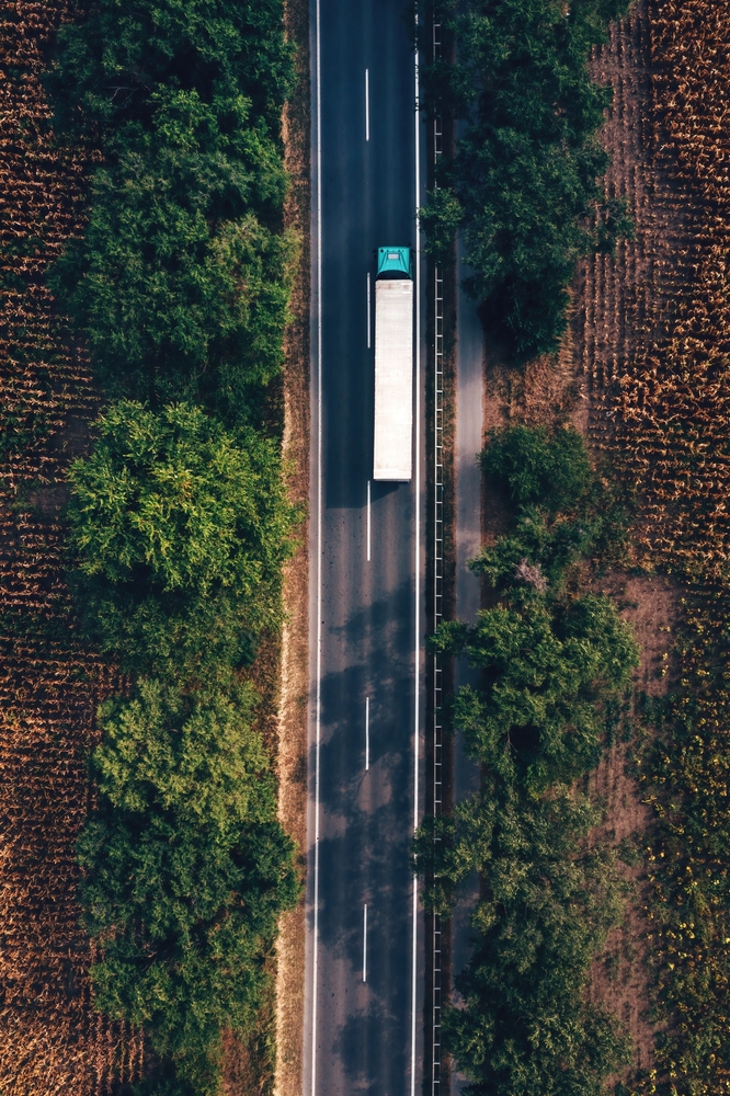
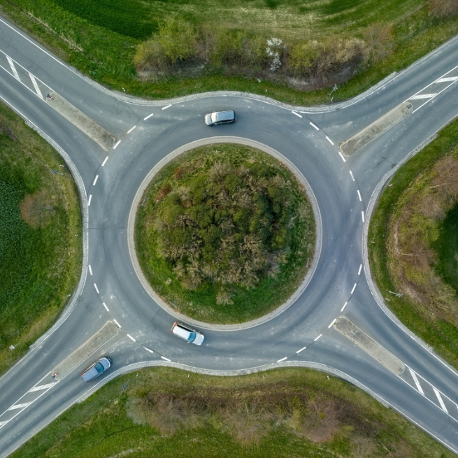
Our drone photography services deliver clear, wide-angle shots from strategic altitudes to showcase terrain, layouts, and progress with clarity
Read More
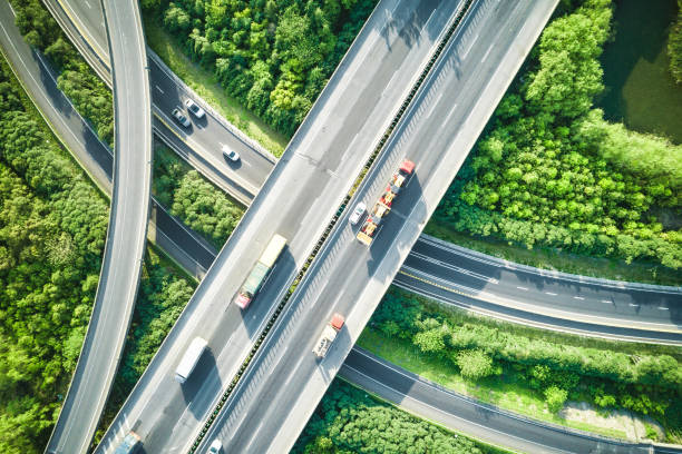
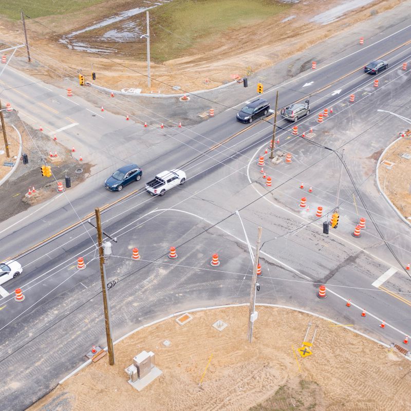
Using RTK/PPK-enabled drones, we conduct topographic surveys, 3D mapping, and visual inspections for civil engineering
Read More
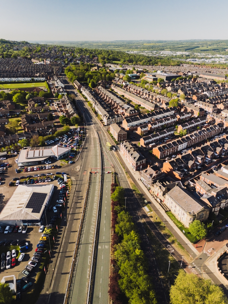
We provide scheduled aerial monitoring services to track the real-time status of infrastructure projects
Read More
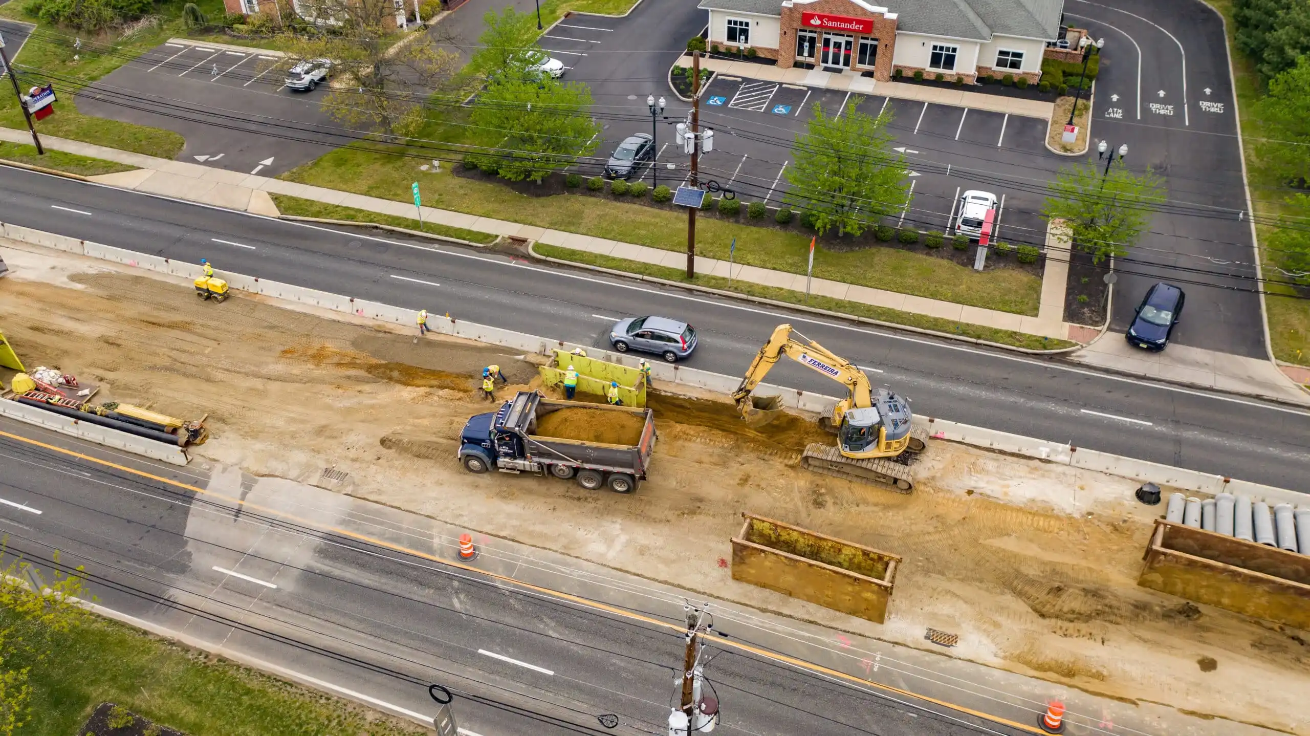
We also offer on-ground photography services to document construction activities, machinery, labor force
Read More
From aerial views of large crowds to detailed shots of cultural, corporate, or public events, our event coverage service
Read MoreWhy Choose Us
Explore video gallery
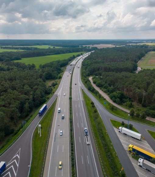
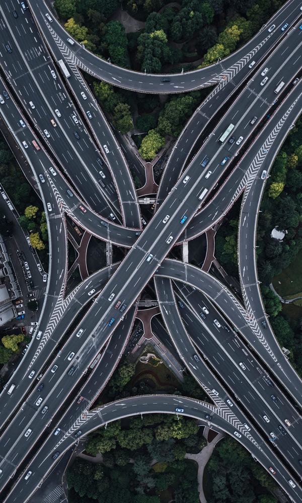
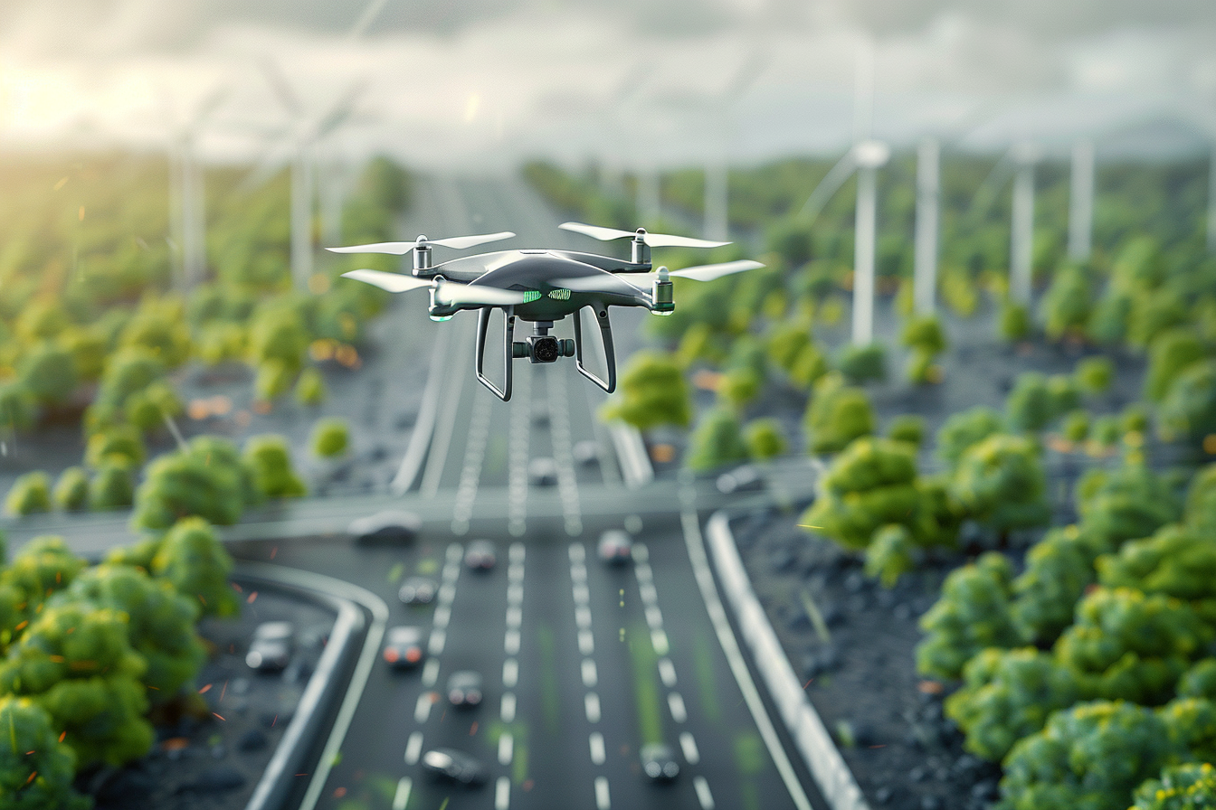
Our video gallery features professionally captured aerial footage highlighting infrastructure development across diverse sectors. From highways and railway corridors to flyovers and urban layouts, each video demonstrates the scale, progress, and technical precision of projects, delivered through high-resolution drone cinematography.
20
Satisfied Clients50
Projects Captured1000
Kilometers Monitored5
Years of ExperienceOur Dedicated Team


Precision Above All.
We are committed to delivering drone services with the highest standards of quality and professionalism, built on trust, precision, and consistent performance.
We use DGCA-certified drones, the latest imaging technology, and strict quality control protocols to ensure every output meets the highest industry standards. From capturing centimeter-level detail to delivering geo-referenced data, our focus is on providing reliable insights that teams can act on with confidence.
The latest news
6-Lane Access Controlled Highway – Faridabad-Ballabhgarh Bypass to KMP Expressway & NH-148NA
We’re proud to present the successful completion coverage of a landmark infrastructure project,
Top 5 Benefits of Drone Monitoring for Rail Projects
from minimizing human error to speeding up inspections,
What Some People Say About Us.
As a civil contractor, I appreciated that their team had real engineering knowledge. Their drone surveys helped us detect issues early and avoid costly delays.

Saini Sky Studio helped us monitor a 200 km highway project with detailed aerial visuals. Their team was responsive, and the data quality exceeded our expectations.